The idea behind the UK Adventure, Uncovered map is to crowdsource the best spots for adventure in the UK by asking people to pin their favourite places. The result was brilliant. Together we’ve identified over 100 local spots and hidden gems which are also shared as a digital version. We asked Bryony Benge-Abbott, the artist with whom we collaborated on the map for our the 2020 Adventure Uncovered Film Festival, to tell us about the process of making it.
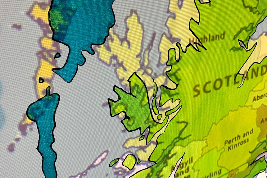
Bryony projected a map of the UK onto the largest canvas she could find, and used it as a template to paint an outline using acrylics and posca pens.
Earlier this year, I was invited by the Adventure Uncovered team to come up with a method for them to collect the top UK adventuring tips from attendees at their 2020 season of film festivals. The interactive needed to be light, simple, low-tech and tactile - and, naturally, in keeping with their sustainable ethos.
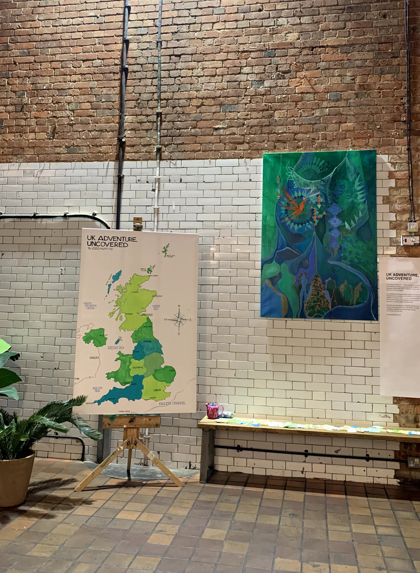
When the phone call came, I’d just finished my largest ever canvas painting to date, which was leaning against the wall in my studio, oils drying. Inspired by the scale of said canvas, my mind jumped to the idea of painting a giant map of the United Kingdom, which could then be carried around to each venue and displayed on an easel. The idea was that festival goers could quickly stitch their recommendations directly onto the map, creating a ‘tapestry of tips’, if you like.
And, despite a bit of fun setting up the projector (given the high number of expert navigators in the audience, I took great pains to ensure the map was accurate!), it worked really well. I projected a map of the UK onto the largest canvas I could find and then used this as a template to paint the outline using acrylics and some nifty posca pens - a must-have for street artists.
'Now, more than ever, we’re going to need to focus on exploring and appreciating the incredible landscapes we have on our doorsteps. This is a great way to challenge the belief that the best adventures need to start with a flight.'
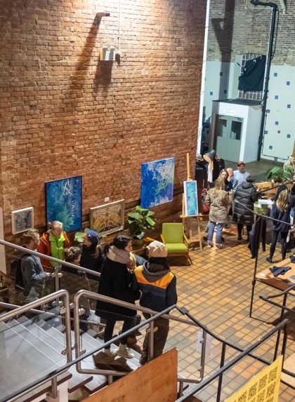
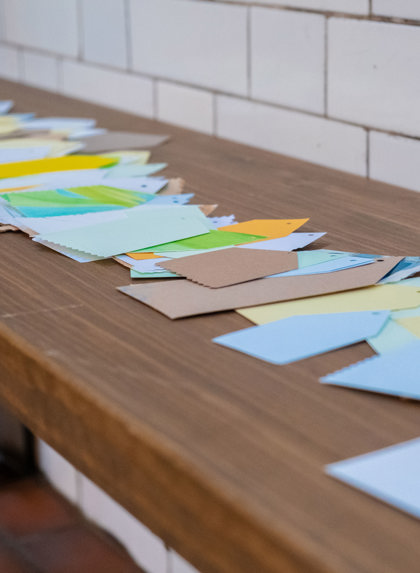
After delivering the painting to the Adventure Uncovered Film Festival in London, I so enjoyed watching folk gather around the map, write their favourite adventure spots on the recycled card tags, stitch them onto the canvas and then enthusiastically rifle through others’ contributions. It was a simple, tactile, shared experience, resulting in a rich collection of knowledge and advice.
And now, what perfect timing for Adventure Uncovered to transform this into a digital interactive map so that it can reach a wider pool of contributors and consumers. Now, more than ever, we’re going to need to focus on exploring and appreciating the incredible landscapes we have on our doorsteps. This is a great way to challenge the belief that all the best adventures need to start with a flight.
Personally, I’ll be adding to the map the ancient Dering Woods, found just outside the ‘haunted’ village of Pluckey in Kent, and the petrified forest of Pett Level beach in East Sussex.
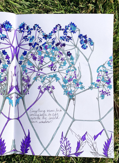
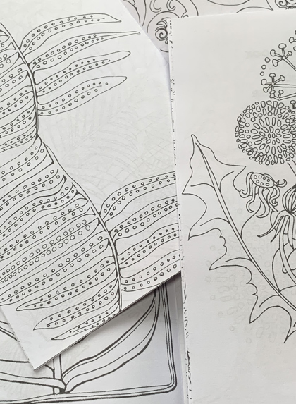
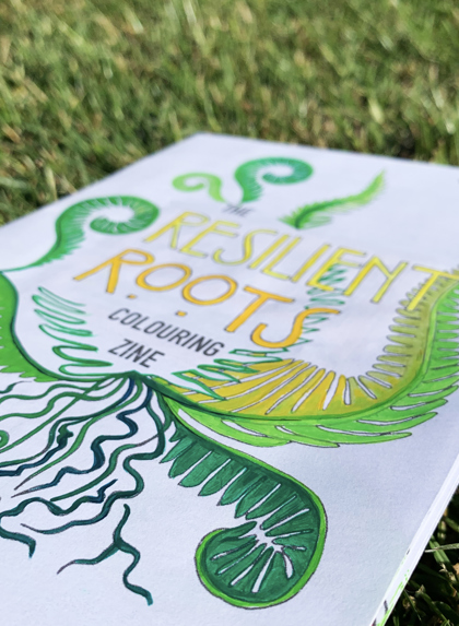
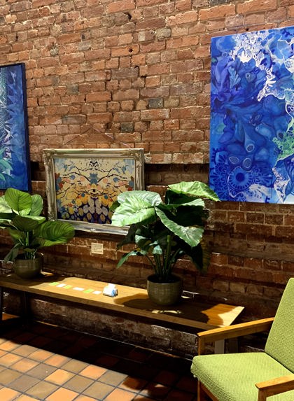
Bryony's latest project ROOTS was launched in the midst of the Covid-19 pandemic. Limited edition artist colouring zines, filled with hand-drawn illustrations of plants interwoven with scientific facts and local folklore, are being created in response to the unique challenges we’re facing during the global lockdown. Profit goes to social and environmental charities; buy your zine or one for a friend here.
